
Neighborhood · 90210 · 90211 · 90212
Beverly Hills
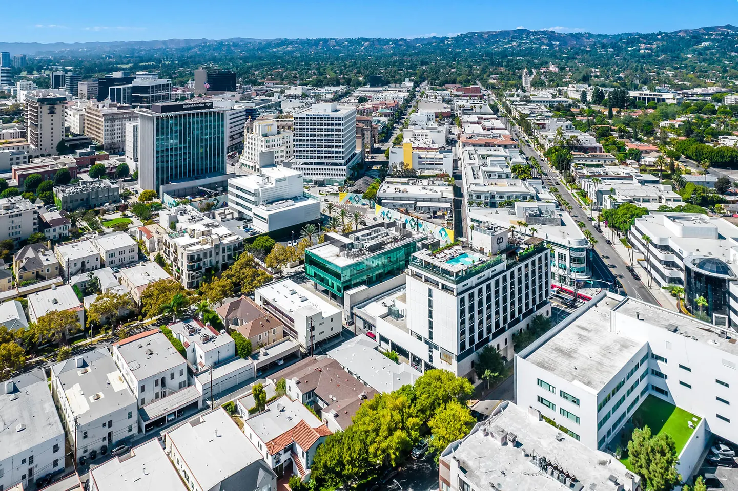
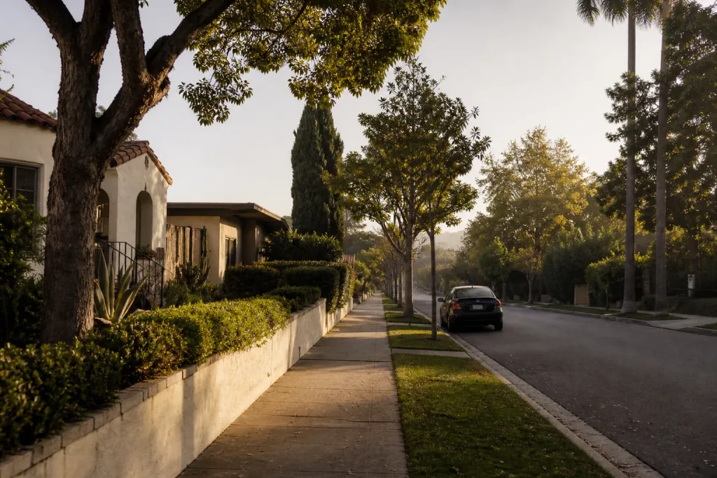
The Flats, moments from Rodeo Drive, and the Post Office hills above them.
Living in Beverly Hills
The Rodeo Land and Water Company subdivided Beverly Hills in 1906 to a plan by landscape architect Wilbur Cook and architect Myron Hunt: a gently curving grid of streets lined with palms and deciduous trees, smaller parcels to the south and larger lots on steeper ground to the north. The city incorporated in 1914. In the Flats, below Sunset, Rodeo Drive’s shops meet Beverly Gardens Park on Santa Monica Boulevard, and the Beverly Hills Hotel has stood on Sunset since 1912.
Above Sunset the streets climb. Greystone, the mansion Edward L. Doheny finished in 1928, now belongs to the city, and on the former Doheny Ranch beyond it Paul Trousdale developed Trousdale Estates through the 1950s and early 1960s, with early houses by Paul R. Williams and Wallace Neff. A city ordinance adopted there in 1987 protects views.
Past the city line, the Post Office hills keep the 90210 ZIP code but belong to the City of Los Angeles, which named much of this ground Beverly Crest in 2008. Coldwater and Benedict canyons wind up toward Mulholland Drive, and Franklin Canyon Park, part of the Santa Monica Mountains National Recreation Area, circles a reservoir with hiking trails.
Beverly Hills on the map
The Flats and north of Sunset in the city, the Post Office hills above — and every home I’ve represented in all three.
Homes I’ve represented
Beverly Hills
Homes I’ve represented here
By part. Each opens its own page.
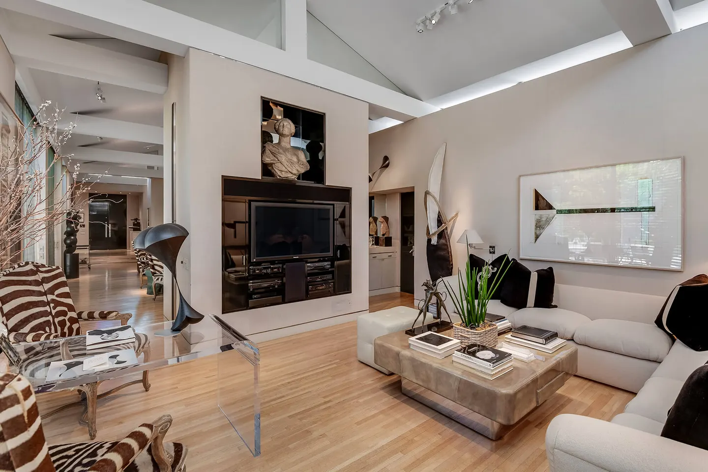
The Flats
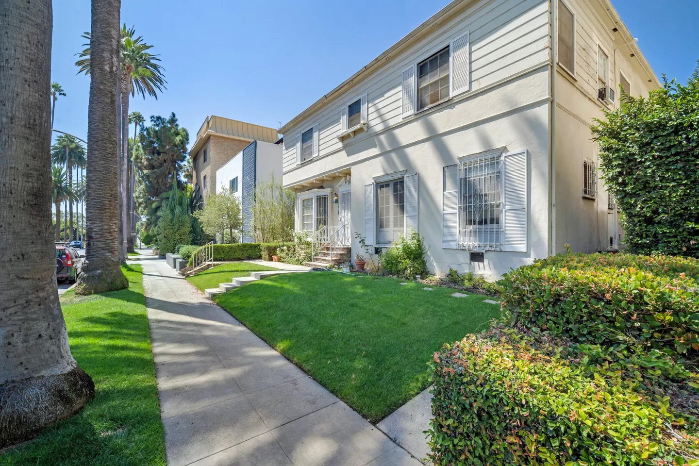
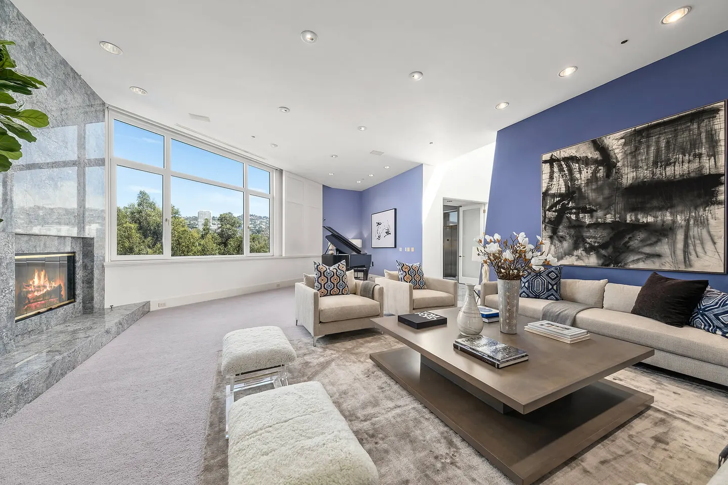
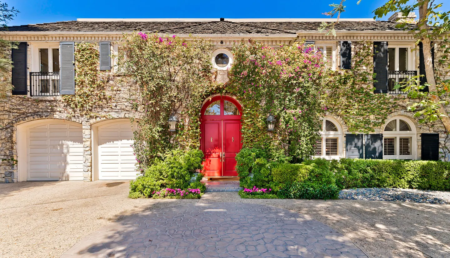
The City of Beverly Hills, south of Sunset.


Show all in The Flats →Show fewer
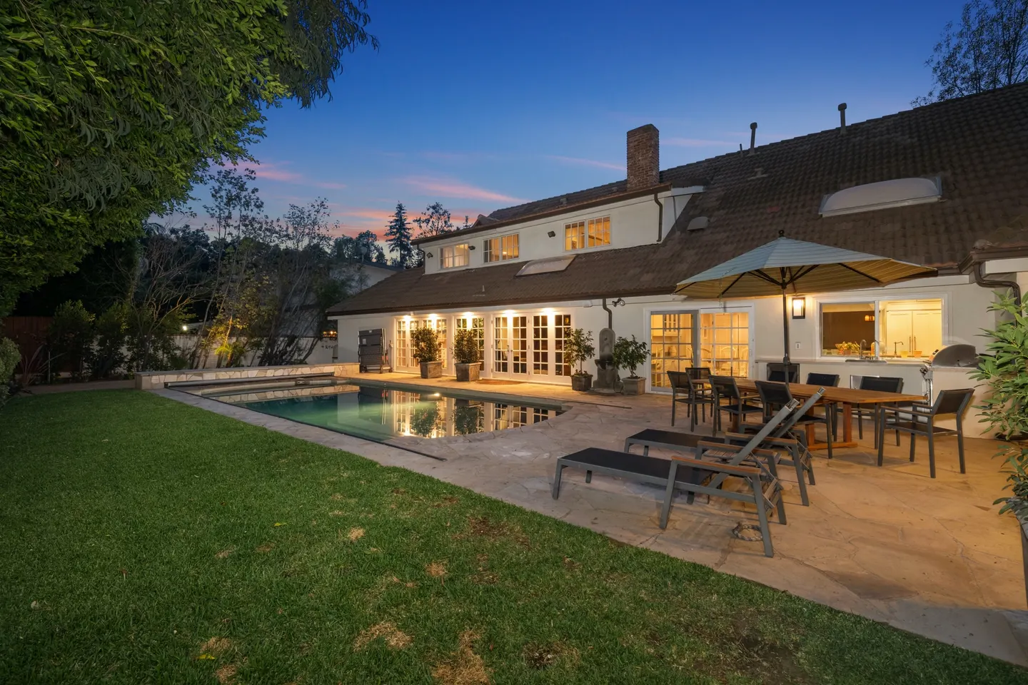
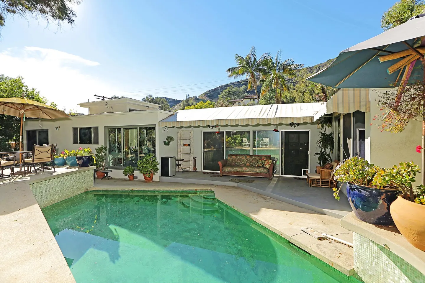
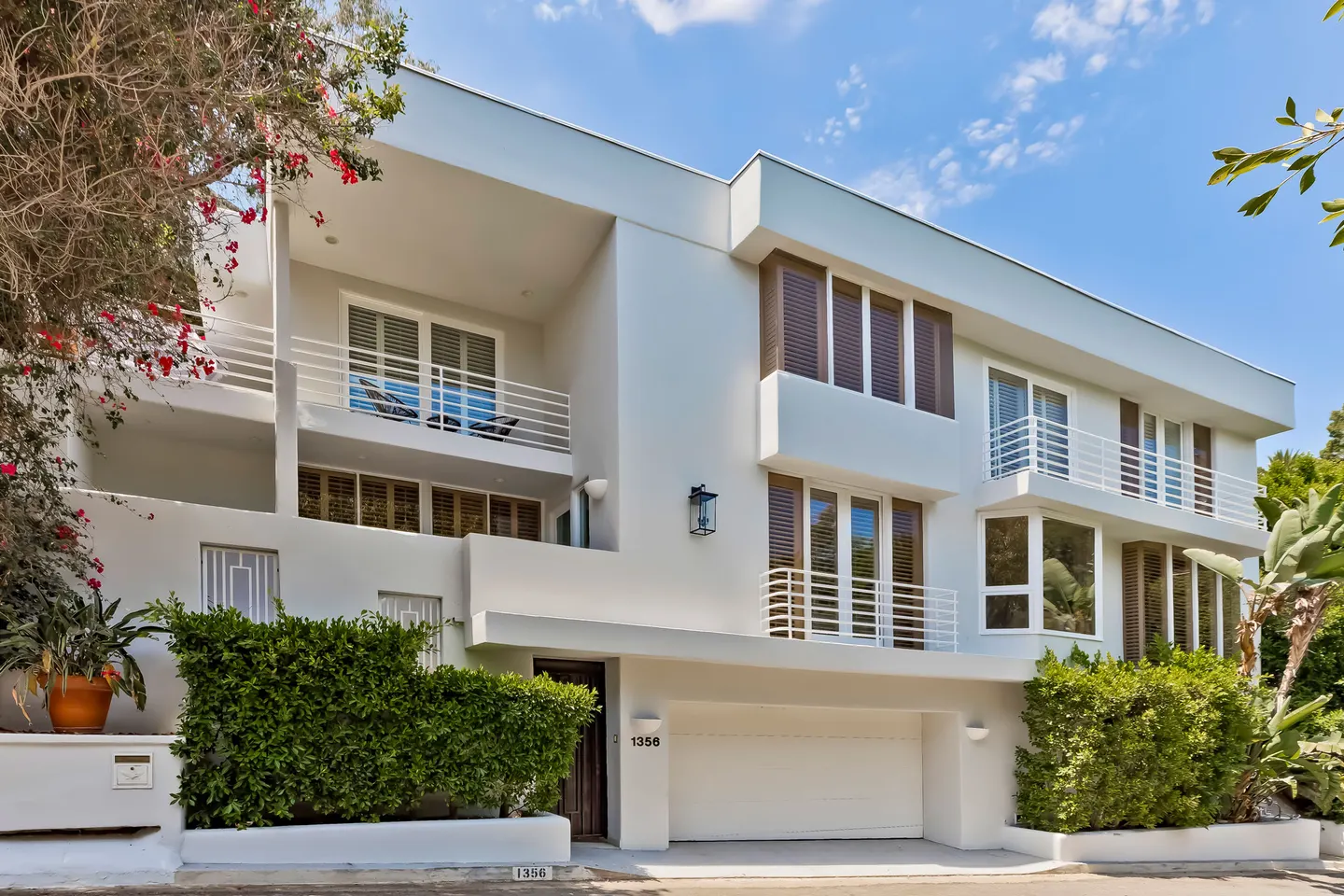
Post Office hills
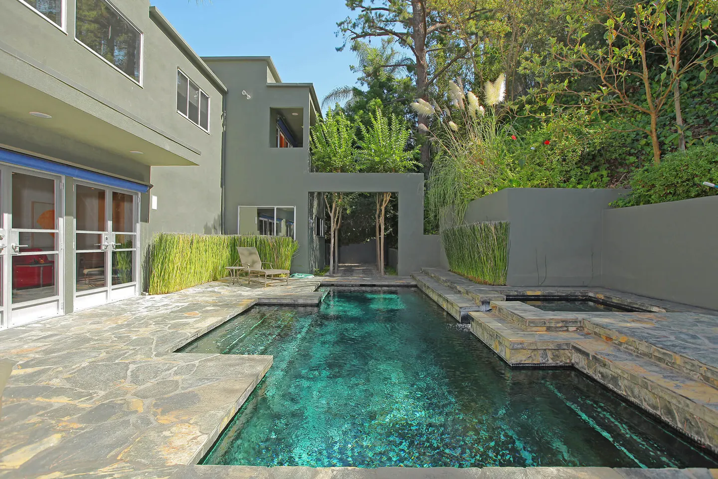
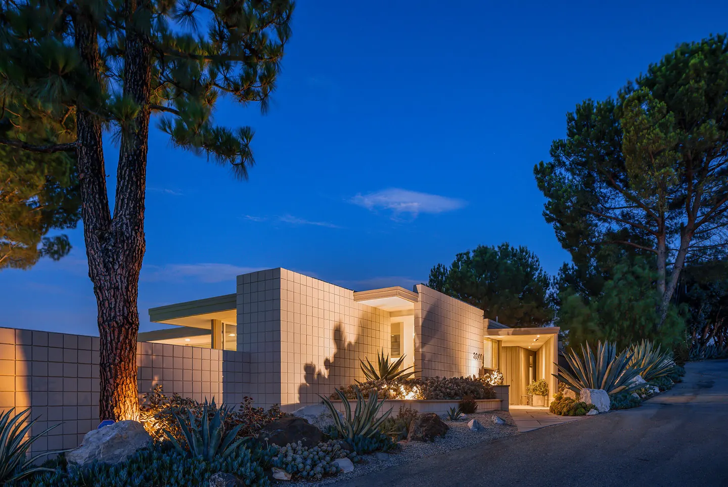
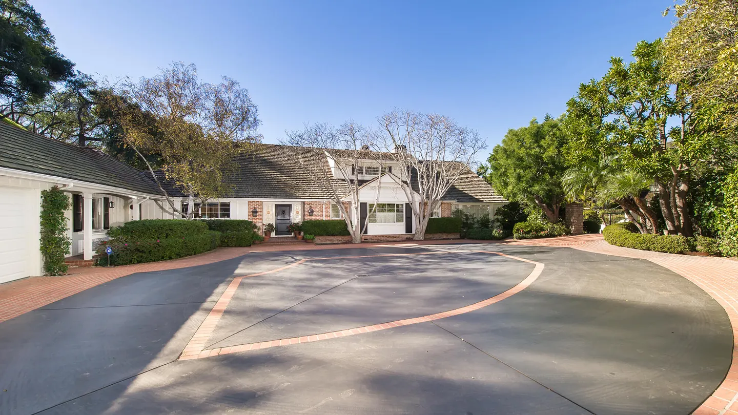
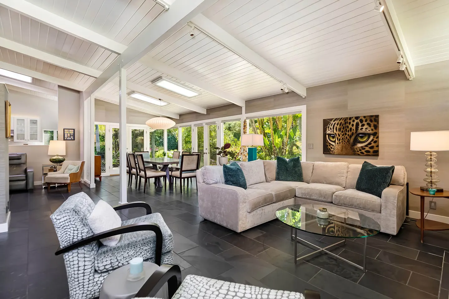
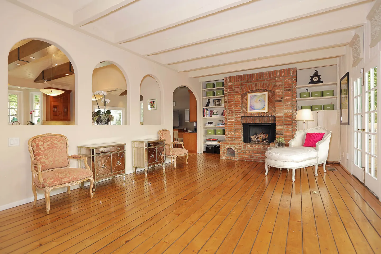
Beverly Hills 90210 by its address, the City of Los Angeles by its services.


Show all in Post Office hills →Show fewer
Around Beverly Hills
Where I send clients once the keys are handed over.
Beverly Hills, for sale now
Selling or buying in Beverly Hills
Selling
Thinking of selling in Beverly Hills?
Tell me the street. I’ll come back with what I’d do, and why.
Buying
Moving to Beverly Hills?
Tell me what matters — the Flats or the hills, a pool, a view — and I’ll tell you where to look.


